A rural place, recorded across two centuries

The quiet history
of La Grosterie

A house, two barns, old paths and seventeen acres beside the river — pieced together from maps, memories and the marks left on the land.

Begin with the 1822 map

A place before the present house

Three buildings were already standing here in 1822.

The old cadastral map records a working rural property long before the La Grosterie we know today. One of those buildings survives in the same position: the long lower barn. The present main house probably followed around 1850, built with people on one side and animals on the other.

Two earlier structures disappeared. A small building, identified in family research as a likely boulangerie, left traces of an external chimney and foundations in the field. A larger western building may have been the original house.
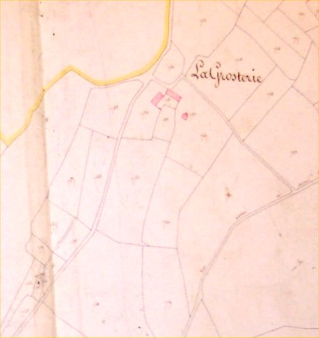
Detail of the 1822 cadastral map showing the original buildings and field boundaries at La Grosterie
1822Cadastre photographed at the mairie. The long building remains today.

Reading the fabric

What changed.
What endured.

  1. The lower barn

    The oldest surviving building appears clearly on the cadastral plan. Later it provided winter shelter for animals, workshops, garages and garden storage.

  2. The present house

    Probably built as a combined dwelling and farm building, with accommodation for people and livestock under one roof.

  3. The upper stable

    The hayloft may have been enlarged around this time. The building retained three substantial stalls before its later conversion into a gîte.

  4. Horses and the track

    A horse-breeding family used the property, probably raising trotters. The curve of an oval exercise track could still be read beside the house.

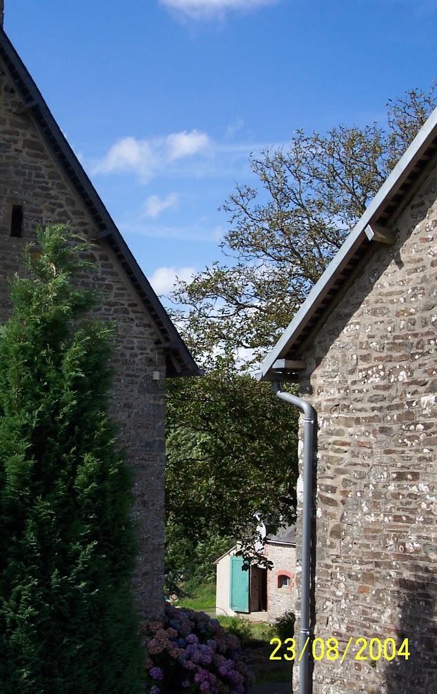
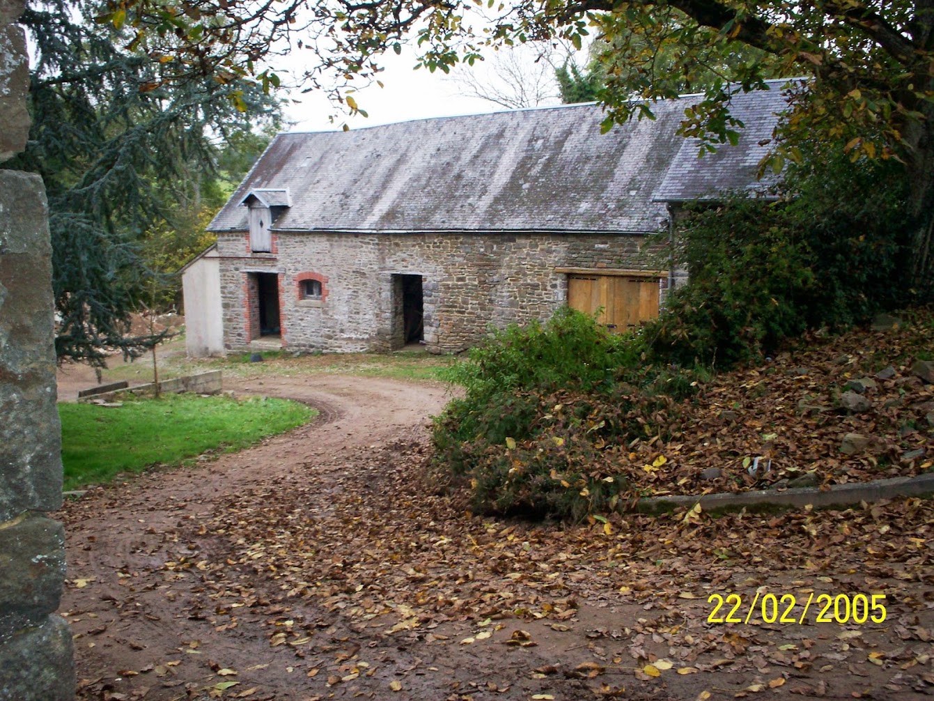
The old lower barn at La Grosterie in February 2005
The lower barn in 2005 — the clearest surviving link to the 1822 plan.

Building the link

Joining the house
to the old stables.

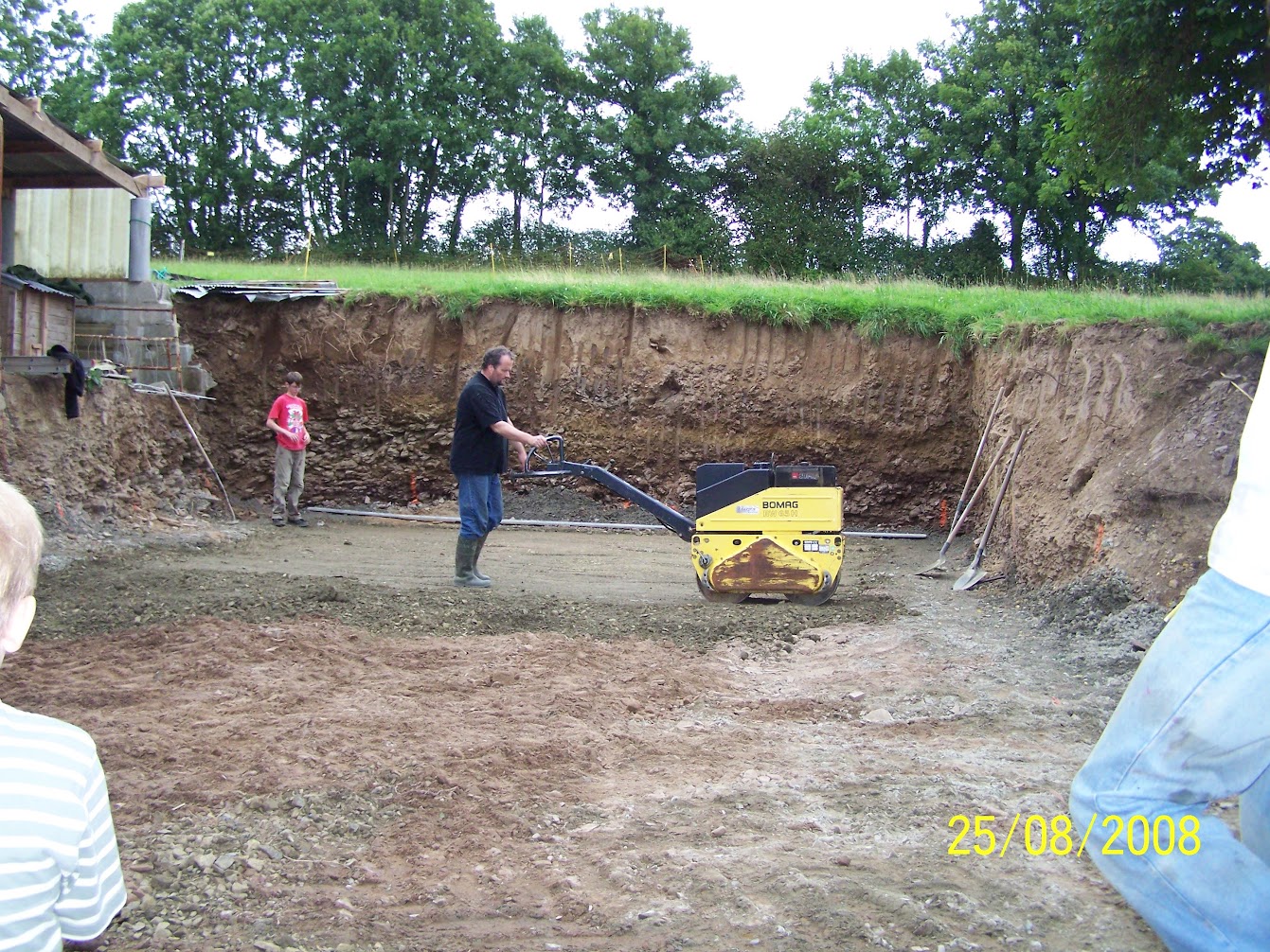
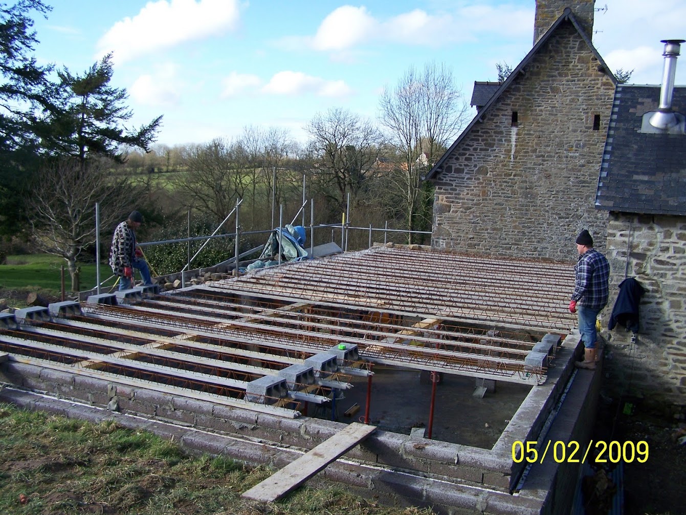
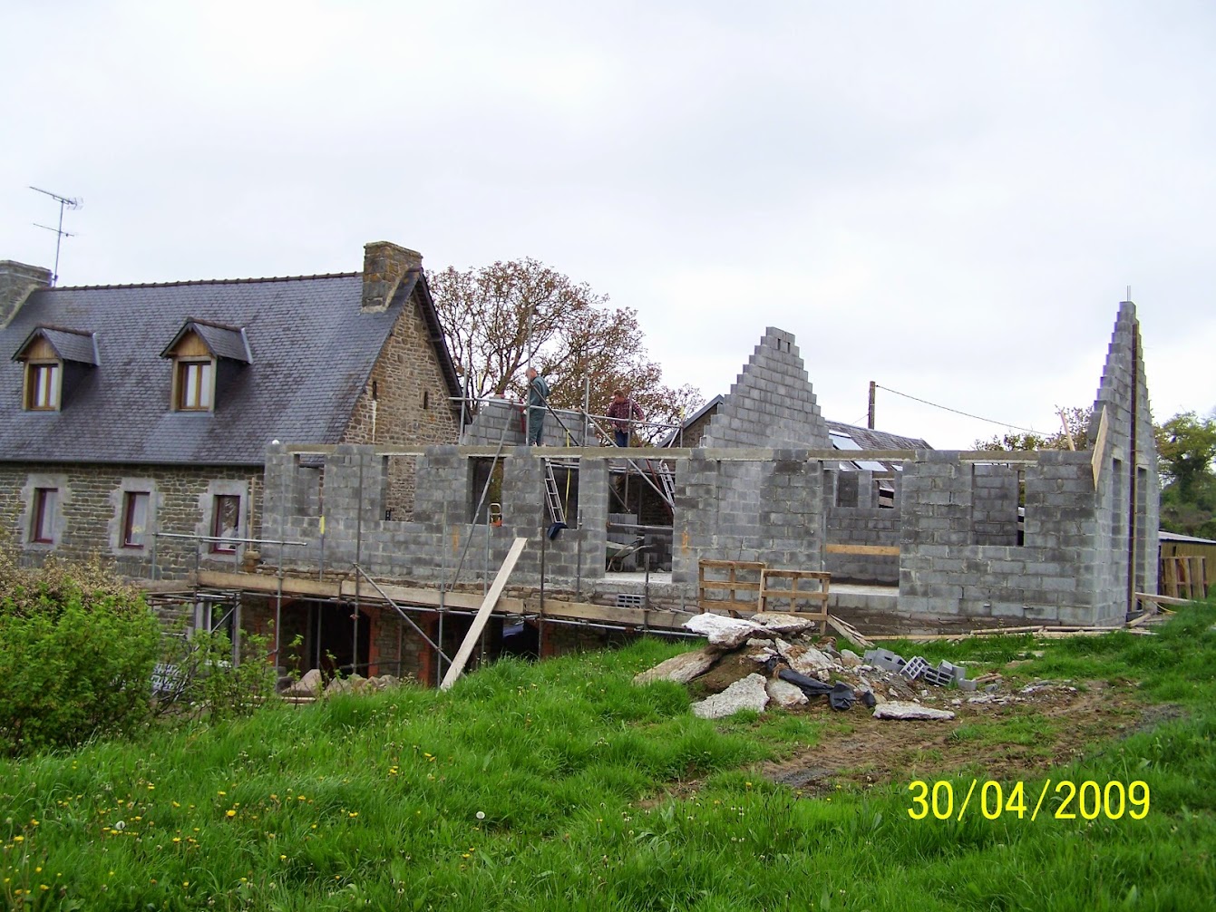
Work began in 2008 on a new apartment between the main house and the former gîte, originally the old stables. The addition joined the two older buildings and completed the enclosure of the courtyard, while keeping the stonework and proportions of the existing farmstead.

Groundworks for the new apartment between the house and old stables in August 2008
Aug 2008Preparing the ground between the two older buildings.
The new apartment floor structure under construction in February 2009
Feb 2009The new floor structure takes shape.
Stone-faced walls of the new apartment rising between the older buildings in April 2009
Apr 2009The walls rise between the old buildings.
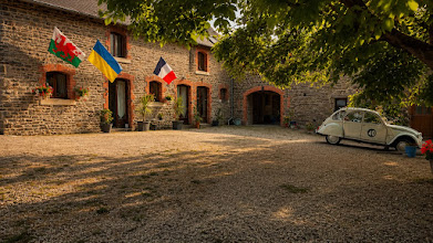
The completed enclosed courtyard at La Grosterie with a Citroën 2CV Perrier
CompletedThe enclosed courtyard, with the Citroën 2CV “Perrier”.

Seventeen acres

A landscape shaped slowly.

Parkland around the house gives way to hay fields and wild woodland along the river. The garden carried mirabelles, gooseberries, raspberries and currants; an ageing apple orchard was cleared and replanted.

mid-1930s
The lime tree in the field
c. 1950
The firs known as Les Sapins
800 tonnes
Soil that helped form the pond ground
“Wide enough to lead a cow through.”

That was the remembered measure of the old chemin rural: a communal lane kept open to reach fields divided through generations of inheritance.

The same ground, redrawn

Field lines outlast buildings.

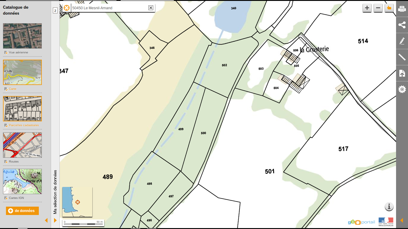
The nineteenth-century cadastre and the modern parcel map show how much of the field structure endured, even as buildings disappeared and the use of the land changed.

2015 Géoportail cadastral map showing La Grosterie, its buildings and surrounding parcels
2015Géoportail parcel map. La Grosterie sits above the land running south towards the wooded river corridor.

An ongoing record

The history is not finished.

Maps establish the outline. Buildings, trees and tracks supply the physical evidence. Local stories fill some of the gaps. Together they preserve the character of a place that has changed without losing its shape.